- •Text 1
- •Introduction
- •Text 2
- •Chapter 1 History of Geodesy
- •Text 3
- •Text 4
- •Text 5
- •Ellipsoid of Revolution
- •Text 6
- •Geoid
- •Text 7
- •Chapter III Geodetic Surveying Techniques
- •Text 8
- •Horizontal Positioning
- •Text 9
- •Triangulation
- •Text 10
- •Orders of Triangulation
- •Text 11
- •Trilateration
- •Text 12
- •Traverse
- •Text 13
- •Celestial Techniques
- •Text 14
- •Vertical Positioning
- •Text 15
- •Chapter IV Geodetic Systems
- •Text 16
- •Orientation of Ellipsoid to Geoid
- •Text 17
- •Text 18
- •Text 19
- •Text 20
- •Text 21
- •Text 22
- •Text 23
- •Text 24
- •Text 25
- •Text 26
- •Chapter V Physical Geodesy
- •Text 27
- •Text 28
- •Text 29
- •Text 30
- •Text 31
- •Text 32
- •Text 33
- •Text 34
- •Text 35
- •Text 36
- •Chapter VI Satellite Geodesy
- •Text 37
- •Text 38
- •Text 39
- •Text 40
- •Text 41
- •Text 42
- •Text 43
- •Text 44
- •Text 45
- •Text 46
- •Text 47
- •Text 48
- •Text 49
- •Text 50
- •Text 51
- •Text 52
- •ГЕОДЕЗИЧЕСКИЕ ТЕРМИНЫ
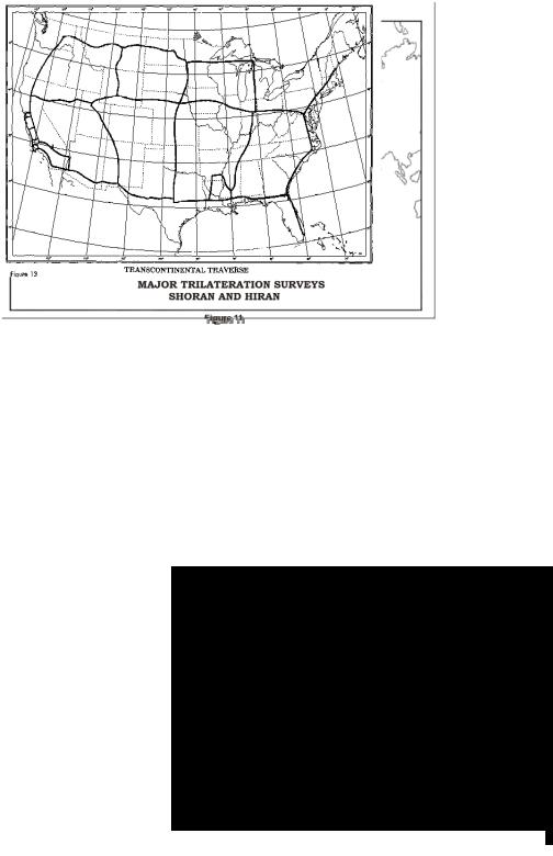
Only distances are measured in trilateration and each side is measured repeatedly to insure precision. The entire network is then adjusted to minimize the effects of the observations errors. The angles of the triangles are computed so the geodetic positions are obtained as in triangulation.
|
Text 12 |
become available |
становиться доступным |
consist of |
состоять из |
conterminous states |
смежные/пограничные штаты |
Traverse
The simplest method of extending control is called traverse. The system is similar to dead reckoning navigation where distances and directions are measured. In performing a traverse, the surveyor starts at a known position with a known azimuth (direction) to another point and measures angles and distances between a series of survey points. With the angular measurements, the direction of each line of the traverse can be
TRANSCONTINENTAL TRAVERSE
Figure 13
16