

188 Part III — Data Hacking
For a detailed description of the contents of the file and for the latest changes, visit www.topografix.com/GPX/1/1/gpx.xsd.
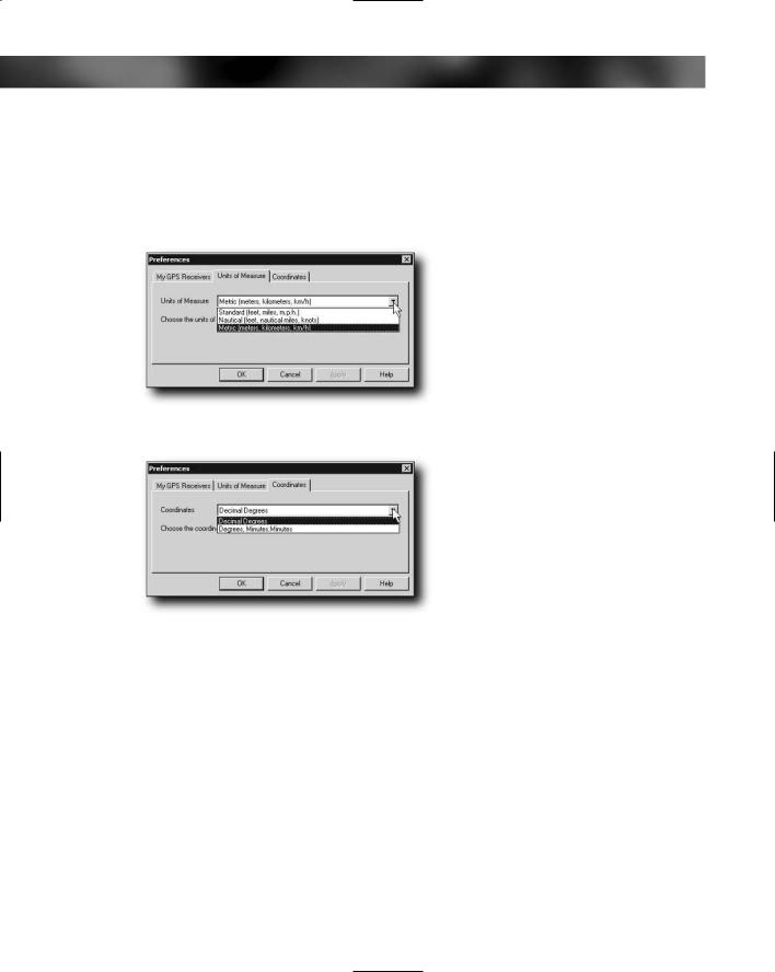
If you don’t like the units that EasyGPS uses, click File Preferences to bring up the Setup dialog box. Here, you can change the units of measure used (see Figure 8-33) and the coordinate style (see Figure 8-34).
FIGURE 8-33: Changing units of measure
FIGURE 8-34: Changing the coordinate style
G7toWin
G7toWin also enables you to work with the data from your GPS. This is an application that you’ll encounter again in Chapter 10 when we look at how to take screenshots from your GPS. G7toWin is trickier to use than EasyGPS, but it does have an advantage that we’ll come to shortly.
You can download G7toWin from www.gpsinformation.org/ronh/. Even if you already downloaded the application previously, take a look for an updated version — they are released regularly.
After you have downloaded the application, you can extract it. This program has no setup applications and can be run from the folder to which you’ve extracted it.
Chapter 8 — GPS Data 189
As normal, connect your GPS to the PC and then you are ready to set up the application to communicate with the GPS. If your GPS is connected to serial port 1 and is a Garmin unit, the application is ready to go and will automatically detect your GPS receiver; if not, click File Configuration and configure the GPS type and the serial port used.
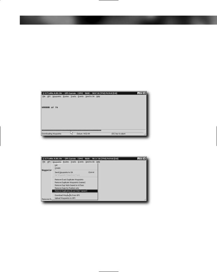
After everything is hooked up, download the waypoints by clicking on GPS from the menu, select Download from GPS and then choose what you want downloaded (All, Waypoints, Routes, etc.)
After you have downloaded the waypoints (see Figure 8-35), you can then do some useful things with them, such as removing duplicate waypoints and ones with duplicate filenames, as well as removing all that have names longer than six characters (see Figure 8-36).
FIGURE 8-35: Downloaded waypoints
FIGURE 8-36: Working with waypoints
Want to create waypoints instead of working with existing ones? No problem. To create a
new waypoint, click Waypoint Create. This brings up a dialog box for creating the waypoint. This dialog box not only enables you to enter waypoint information such as name, coordinates, elevation, and icon details, it also enables you to choose icons that relate to GPS models and manufacturers, giving you greater flexibility. You can also easily specify the format for the coordinates you enter.