NP 286(1) United Kingdom and Europe
.pdfContents Index

Contents Index
UNITED KINGDOM (Northern Ireland)
(2) Outer area: Magilligan Point (55°11'·SON6°57'·90W)to position 55°13'·SON
S051'·OOW. thence N to position 55°15'SON 6°51'OOW, thence W to position
5S°15'-50N6°SS'·30W,thence S to position S5°14'·2ON 6°SS"30W.
CONTACT DETAILS:
Pilots
Call: Foyle Pilots
VHF Frequency: Ch 1416
Telephone: +353(0)749381520
Fax. +353(0)749381521
E·mait:foylepitolstn@eircom.nel
Harbour Radio
Call: Londonderry Harbour Radio
VHF Frequency: Ch 1416
Tetephone: +44(0)2871860313
Fax: +44(0)2871861357
E·mail: harbourradio@londonderry·porl.co.ulo.
Port Operations (Hr Mr)
Telephone: +44(0)28 71861113
Fax: +44(0)28 71861656
E·mail: info@londollderry-port.co.uk
Website: www.londonderryport.com
LSS 011 Tenninal
Telephone: +44(0)2871861451
HOURS: Pilots: Mon-Fri: 0900-1700 LT
Harbour Radio: H24
PROCEDURE:
(1) Pilotage is compulsory wilhin the Inner pilotage area as follows:
(a) All vessels over 50m LOA
(b) All passenger vessels over 35m LOA
(c) All vessels carrying dangerous substances as defined in the Dangerous
Substances In Harbour Areas (DHSA) Regulations 1987
(d) All vessels in ballast which are not gas-free
(e) All vessels or their lows, having any ollhe following defects:
(i) Are unseaworthy in any respect
(ii) Have defects to main engine, steering gear or any other equipment which may effect the manoeuvrability otthe vessel
(iii) Have inoperable capstan, windlass. mooring winches or anchors
(iv) Have any hull or machinery damage which may affect the safety of the vessel or the containment or safety of the cargo or bunkers
(v) Have a list of more than 5degrees or are excessively out of trim
(2) Pilotage Is compulsory within the outer pilotage area for all vessels over 120m LOA.
(3) Pilotage Is exempt for the following vessels:
(a) HM warships
(b) General Li\tllhouse Authority Tenders
(e) Vessels less than 70m LOA engaged in dredging, operating exclusively within port limits
(d) All vessels exempt by law
(4) Notice of ETA: Vessels must send ETA.arrival draught and maximum airdraught
10 Londonderry Harbour Radio, 24h, 12h and 3h prior to arrival at the Pilot boarding area.
(5) All vessels inward-bound, outward-bound or passing through the port are required to communicate with either Foyle Pilots or Londonderry Harbour Radio on VHF Ch 14.
(6) Inward·boundvessels tor the inner pilotage area should report when 3 n miles from the Tuns Lt buoy (55°14'-OON6°53'·40W).
(7) Inward-bound vessels wishing to be boarded at the outer pilotage area shOuld give 1h notice to boarding pos~ion.
(8) Inward·boundvessels must report to Londonderry Harbour Radio as follows:
(a) When 3 nmiles from the Tuns Lt buoy
(b) On passing the Tuns Lt buoy
(9) Outward-bound vessels should report on passing the Tuns LI buoy.
(10)AII vessels within Lough Foyle and River Foyle should maintain a continuous listening watch on VHF Ch 14.
(11)Outward'boundvessels, shilting berth or requiring a Pilot, shOUld contact Port
Operations atleast4h in advance during office hours, or Harbour Radio outside office
hours.
(12JOutward-bound pilotage must be booked at least3h prior to sailing.
443


Contents Index
NOTES REFERRING TO THE TABLE
General notes
a)Administrations may designate frequencies in the inter-ship, port operations and ship movement services for use by light aircraft and helicopters to communicate with ships or participating coast stations in predominantly maritime support operations. However, the use of the channels which are shared with public correspondence shall be subject to prior agreement between interested and affected administrations.
b)The channels of the present Appendix. with the exception of Channels OS. 13. 15. lS. 17, 70, 75 and 7S. may also be used for high-speed data and facsimile transmissions. subject to special arrangement between interested and affected administrations.
c)The channels of the present Appendix. but preferably Channel 28 and with the exception of Channels 06, 13, 15, 16, 17.70,75 and 7S. may be used for direct-printing telegraphy and data transmission. subject to special arrangement between interested and affected administrations.
d)The frequenaes In this table may also be used for radiocommunications on inland waterways.
e)Administrations having an urgent need to reduce local congestion may apply 12·5 kHz Channel interleaving on a non-interference basis to 25 kHz channels. provided:
-recommendation ITU-R M.l 084-2 shall be taken into account when changing to 12·5kHz Channels;
-it shall not affect the 25 kHz Channels of the Appendix S18 maritime mobile distress and safety frequencies. especially the Channels 06,13,15,16,17, and 70, nor the technical characteristics mentioned in Recommendation ITU-R M.489-2 for those channels;
-implementation of 12·5kHz Channel interleaving and consequential national requirements shall be subject to prior agreement between the implementing administrations and administrations whose ship stations or services may be affected.
Specific notes
f)The frequency 156·300MHz (Channel 06) may also be used for communication between ship stations and aircraft stations engaged in CO-Ordlnated search and rescue operations. Ship stations shall aVOid harmful interference to such communications on Channel 06 as well as to communications between aircraft stations. ice-breakers and assisted ships during ice seasons.
g)Channels 15 and 17 may also be used for on-board communications provided the effective radiated power does not exceed 1 W, and subject to the national regulations of the administration concerned when these channels are used in its territorial waters.
h)Within the European Maritime Area and in Canada, these frequencies (Channels 10.67. 73) may also be used, if so required. by the individual administrations concerned. for communication between ship stations. aircraft stations and participating land stations engaged in co-ordinated search and rescue and anti-pollution operations in local areas.
i)The preferred first three frequencies for the purpose indicated in note a) are 156·450 MHz (Channel 09), 156·625 MHz (Channel 72) and 156·675MHz (Channel 73).
j)Channel 70 is to be used exclusively for digital selective calling for distress, safety and calling.
Ie) Channel 13 is designated for use on a worldwide basis as a navigation safety communication channel. primarily for intership navigation safety communications. It may also be used for the ship movement and port operations service subject to the national regulations of the administrations concerned.
/) These Channels (AIS 1 and AIS 2) will be used for an automatic ship identification and surveillance system capable of providing worldwide operation on high seas. unless other frequencies are designated on a regional basis for this purpose.
m)These Channels (18 and 82 to 86) may be operated as single frequency channels, subject to special arrangement between interested or affected administrations.
n)The use of these Channels (75 and 76) should be restricted to navigation-related communications only and all precautions should be taken to avoid harmful interference to Channel 16, e.g. by limiting the output power to 1 W or by means of geographical separation.
0)These channels may be used to provide bands for initial testing and the possible future introduction of new technologies, subject to special arrangement between interested or affected administrations. Stations using these channels or bands for the testing and the possible future introduction of new technologies shall not cause harmful interference to. and shall not claim protection from, other stations operating In accordance with ITU Radio Regulations I Volume 1 I Chapter SII - Frequencies I Article $5 I Frequency allocations.
447
Contents Index
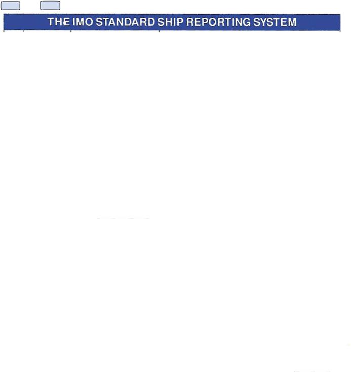
A |
ALPHA |
Ship |
Name. call sign or ship station identity. and flag. |
B |
BRAVO |
Dates and time of event |
A6 digit group giving day of month (first two digits). hours and minutes (last four digits). |
|
|
|
If other than UTC state time zone used. |
C |
CHARLIE |
Position |
A4 digit group giving latijude in degrees and minutes suffixed with N(north) S (south) and |
|
|
|
a 5 digit group giving longnude in degrees and minutes suffixed with E(east) or W(west) |
r----+------------;-----------------------~ or. |
|||
D |
DELTA |
Position |
|
|
|
|
True bearing (first 3 digits) and distance (state distance) in nautical miles from a dearly |
|
|
|
identffied fandmark (state landmark). |
E |
ECHO |
True course |
A 3 digit group. |
F |
FOXTROT |
Speed in knots and tenths of knots |
A3digit group. |
G |
GOLF |
Port of Departure |
Name of last port of call. |
H |
HOTEL |
Date. time and point of entry into system |
Entry time as expressed in (B) and into the entry position expressed as in (C) or (D). |
|
INDIA |
Destination and expected time of arrival |
Name of port and date time group expressed as In (B). |
J |
JULIEn |
Pilot |
State whether a deep sea or local pilot is on board. |
K |
KILO |
Date. time and point of exit from system |
Exit time as expressed in (B) and exit position as expressed in (C) or (D). |
|
|
or arrival at the ship'sdestination |
|
L |
LIMA |
Route information |
Intended track. |
M |
MIKE |
Radio communications |
State in hjl names of stations/frequencies guarded. |
N |
NOVEMBER |
Time of next report |
Date time group expressed as in (B). |
o |
OSCAR |
Maximum present static draught in |
4 digit group giving metres and centimetres. |
|
|
metres |
|
P |
PAPA |
cargo on board |
Cargo and brief details of any dangerous cargoes as well as harm!ul st.bstances and |
|
|
|
gases that could endanger persons or the environment. |
a |
auEBEC |
Defects. damage, deficiencies or |
Brief details of defects. damage. deticiencies or other limitations. |
|
|
limitations |
|
R |
ROMEO |
Description 01 pollution or dangerous |
Brief details of type of pollution (oil, chemicals. etc) or dangerous goods lost overboard: |
|
|
goods lost overboard |
position expressed as in IC) or (D). |
S |
SIERRA |
Weather conditions |
Brief details of weather and sea conditions prevailing. |
T |
TANGO |
Ship'srepresentative and/or owner |
Details 01 name and particulars of ship'srepresentative andtor owner for provision of |
|
|
|
information. |
U |
UNIFORM |
Ship size and type |
Details of length, breadth. tonnage and type. etc., as required. |
V |
VICTOR |
Medical personnel |
Doctor. physician'sassistant. nurse. personnel without medical training. |
W |
WHISKEY |
Total number of persons on board |
State number. |
X |
X·RAY |
Miscellaneous |
Any other information as appropriate. |
Y |
YANKEE |
Request to relay report to another system |
Content of report. |
|
|
e.g. AMVER. JASREP. MAREP etc. |
|
Z |
ZULU |
End of report |
No further information required. |
Designator column is headed 10 throughout this volume.
448