

OMAN |
163 |
|
General |
163 |
Buoyage System |
163 |
Cautions |
163 |
Currency |
163 |
Firing Areas |
163 |
Government |
164 |
Holidays |
164 |
Industries |
164 |
Languages |
164 |
Mined Areas |
165 |
Navigational Information |
165 |
Pollution |
165 |
Regulations |
165 |
Search and Rescue |
165 |
Time Zone |
165 |
U.S. Embassy |
165 |
General
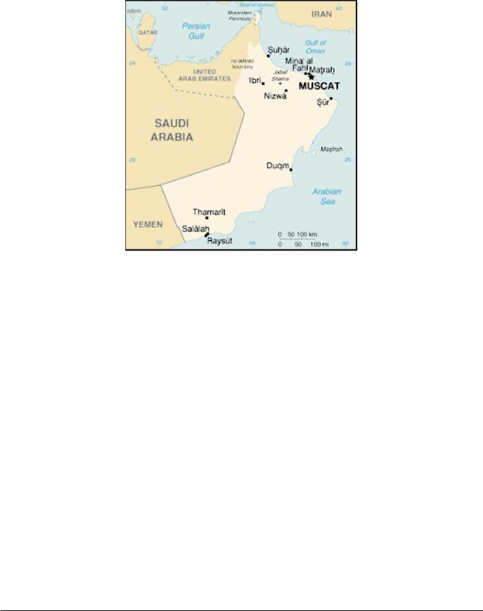
Oman is located in the SE part of the Arabian Peninsula. It is bordered on the W by Yemen and Saudi Arabia, on the S by the Arabian Sea, on the NE by the Gulf of Oman, and on the NW by the United Arab Emirates. The country includes the islands of Kuria Muria and Al Masirah which lie off the SE coast. In addition, the detached province of Ru’ us al Jibal is located at the extremity of the promontory (Musandam Peninsula) forming the S side of the entrance to the Persian Gulf. This province also includes the islands lying close off the promontory. The Sultanate of Oman was formerly known as the Sultanate of Muscat and Oman until 1970.
The country consists of a vast central desert plain with rugged mountains in the N and S parts. Al Batinah, a fertile coastal plain, extends NW of Masqat for over 150 miles.
The climate is mostly dry desert; it is hot and humid along the coast, but is hot and dry inland. The southernmost part of the country is subject to a Southwest Monsoon in the summer (May to September).
Buoyage System
The IALA Buoyage System (Region A) is in effect. See Chart No. 1 for further IALA Buoyage System information.
Cautions
Special Warning 121 (Issued 20 March 2003)
Information on Special Warning 121 can be found in Iraq— Cautions.
Special Warning 115 (Issued 5 March 2001)
Information on Special Warning 115 can be found in Iraq— Cautions.
Currency
The official unit of currency is the Omani rial, consisting of 1,000 baiza.
Firing Areas
Naval firing practices (surface to surface and surface to air) and other exercises take place within the following areas:
1. Area Tahr (D37).—An area bounded by lines joining the following positions:
Pub. 160

164 |
Oman |
a.24˚18.00'N, 54˚40.00'E.
b.24˚00.00'N, 58˚39.00'E.
c.23˚51.75'N, 58˚20.00'E.
d.23˚51.75'N, 58˚06.00'E.
e.24˚09.00'N, 57˚40.00'E.
2.Daymaniyat Naval Gunfire Support Range. —An area bounded by lines joining the following positions:
a.23˚51.75'N, 58˚06.00'E.
b.23˚51.75'N, 58˚20.00'E.
c.24˚01.70'N, 58˚20.00'E.
d.23˚53.90'N, 58˚02.60'E
3.Area Umm al Fayyarin (D38).—An area bounded by the segment of a circle 10 miles in radius centered on 26˚11'N, 56˚30'E from 020˚ clockwise to 060˚.
4.Area Jazirat al Ghanam (R15).—An area bounded by the segment of a circle 5 miles in radius centered on
26˚24'N, 56˚23'E from 040˚ clockwise to 250˚ and then 10 miles in radius centered on the same point from 250˚ clockwise to 040˚.
5.Area Jazirat Ghazant (D57).—An area bounded by
the segment of a circle 10 miles in radius centered on 17˚36.7'N, 56˚08.2'E clockwise from 17˚35.83'N, 55˚57.75'E to 17˚28.5'N, 56˚14.22'E, and then a straight line back to 17˚35.83'N, 55˚57.75'E.
6.Area Marbat (D65).—An area bounded by lines joining the following positions:
a.16˚53'N, 54˚30'E.
b.16˚53'N, 55˚10'E.
c.16˚13'N, 55˚10'E.
d.16˚13'N, 54˚30'E.
7.Area Ras Hamar (D67).—An area bounded by lines joining the following positions:
a.16˚42'N, 53˚55'E.
b.16˚40'N, 53˚34'E.
c.16˚25'N, 53˚37'E.
d.16˚28'N, 53˚58'E.
8.Area Abu Rasas (D20).—An area bounded by lines joining the following positions:
a.20˚15.5'N, 58˚32.1'E.
b.19˚54.0'N, 58˚09.1'E.
c.19˚43.2'N, 58˚21.0'E.
d.20˚04.7'N, 58˚43.9'E.
9.Area Al Hadri (D41).—An area of a circle with a radius of 1 mile centered on 20˚35'20''N, 58˚53'08"E.
Details of firing exercises within the above areas will be broadcast as warnings by Bahrain Radio (A9M) on 500 kHz, normally 3 days in advance. Vessels are advised to avoid these areas, or if it is necessary to enter them, to proceed with caution.
Government
Flag of Oman
Oman is a hereditary absolute monarchy. The country is divided into six regions and two governorates.
Oman is governed by a Sultan, who is both the chief of state and head of government. The Sultan legislates by decree and appoints a cabinet to assist him.
The Majlis al-Dwala (upper chamber) consists of 48 members, appointed by the Sultan, who have advisory powers only. The Majlis al-Shura (lower chamber) consists of 83 members serving 3-year terms who are directly elected by a limited number of voters; the Sultan has final authority over the makeup of the body, which debates domestic issues, but has no legislative or veto powers.
The legal system is based on English common law and Islamic law, with ultimate appeal to the Sultan.
The capital is Masqat (Muscat).
Holidays
The following holiday is observed:
Third week of November Omani National Days (two days, as declared by
the government)
Islamic holidays, which are subject to the appearance of the moon, include Eid Al-Fitr (End of Ramadan), Eid Al-Adha (End of Pilgrimage), Hijrah (Islamic New Year), Ashoora, and the Prophet’s Birthday.
Industries
Crude oil production and refining are the predominant industries. There is also some natural gas production, copper mining and smelting, cement, and textile production. Agriculture and fishing are the traditional way of life. Crops include dates, limes, alfalfa, bananas, and vegetables.
Languages
Arabic is the official language. English, Baluchi, Urdu, and several Indian dialects are also used.
Pub. 160

Oman |
165 |
Mined Areas
Vessels are advised that mined areas exist in the N part of the Persian Gulf. Further information should be obtained from the local authorities. Mine sightings should be reported to the naval authorities by INMARSAT (150 5612) or to Coalition naval vessels on VHF channel 13 or 16. Details of areas reported to be dangerous due to mines are also promulgated by Notice to Mariners issued by the Middle East Navigation Aids Service (MENAS) and by MARAD advisories.
Navigational Information
The maritime territorial claims of Oman are, as follows:
Territorial Sea * |
12 miles. |
Contiguous Zone |
24 miles. |
Fisheries or Economic |
200 miles. |
Zone |
|
* Requires advance permission or notification for innocent passage of warships in the territorial sea.
Pollution
General
The discharge of oil is prohibited within 50 miles of the Omani coast.
Reporting
Vessels navigating in Omani waters are required to report pollution incidents and oil slicks. These reports are to be sent directly to the Ministry of Regional Municipalities and Environment during working hours (0730 to 1430):
1.VHF channel 16 or 73.
2.Fax: +968-696462.
3.Telex: 5404 MININVOY ON
The following information should be included in the report whenever possible:
1.Date of observation.
2.Local time of observation.
3.Location of pollution:
a.Latitude/longitude or grid reference.
b.Distance from land.
c.Nearest town/village.
4.Approximate size of pollution, in meters:
a.Length.
b.Width.
c.Percentage of area covered by oil.
5.Oil type and description:
a.Is it a continuous cover? (Yes/No).
b.Is it broken cover (patch, streaky)? (Yes/No).
c.Tar balls (Yes/No).
d.Other (Yes/No).
e.Light brown (Yes/No).
f.Dark brown (Yes/No).
g.Black (Yes/No).
h.Silver sheen on water (Yes/No).
i.Rainbow colors on water. (Yes/No).
6.Direction and speed of surface winds.
7.Wave height.
8.Pollution source (if vessel involved in the incident is seen):
a.Name of vessel.
b.Type of vessel.
c.Size of vessel.
d.Nationality/port of registration.
e.Course and speed of vessel.
f.Photographs/oil sample taken?
g.Is the vessel in distress?
h.State nature of distress (fire, collision, etc.).
Regulations
General
The master or owner of every ship shall be held directly responsible for the proper conduct and behavior of the crew and for strict observance of the laws of the Sultanate of Oman, particularly those laws concerning the sale, transference or consumption of any narcotic or alcoholic or intoxicating drink of any kind.
Vessels calling at the ports of Oman are required to have a copy of the local rules and regulations aboard. Vessels without a copy must obtain one as early as possible on arrival.
Anchorage
All vessels anchoring within the territorial waters of the Sultanate of Oman (12 miles), for the purpose of waiting for orders or in order to carry out engine repairs, should anchor within the latitudes of 23˚53'N and 23˚40'N, and between the longitudes of 58˚10'E and 58˚27'E. No other anchorage in this area may be used except when actually loading or discharging at SBM buoys.
All vessels using this anchorage must contact Mina Qabus Port Control on VHF channel 16 and give the following information:
1.Flag or port of registry.
2.Call sign.
3.DWT, GRT, and NRT.
4.Ports of call, including last port and next port.
5.Whether the vessel is carrying dangerous or hazardous cargo.
Search and Rescue
The Royal Air Force of Oman is responsible for coordinating search and rescue operations. Masqat (Muscat) Coast Radio Station maintains a continuous listening watch on international distress frequencies.
Time Zone
The Time Zone description is DELTA (-4). Daylight Savings Time is not observed.
U.S. Embassy
The U.S. Embassy is located on Jameat A’Duwal Al Arabiya Street, Al Khuwair area, Muscat.
Pub. 160

166 |
Oman |
The mailing address is P.O. Box 202, Postal Code 115,
Madinat-al Sultan Qaboos, Muscat.
U. S. Embassy Oman Home Page
http://www.usa.gov.om
Pub. 160